Old Ordnance Survey Maps of Yorkshire

  • These detailed maps normally cover an area of about one and a half miles by one mile. Each map includes an introduction.
  • They are available through our On-line Mapshop

  • Here are the details of maps for York Dringhouses:

  • Yorks Sheet 174.14 York: Middlethorpe & Dringhouses 1907 - published 2025; intro by Alan Godfrey. ISBN.978-1-78721-929-8

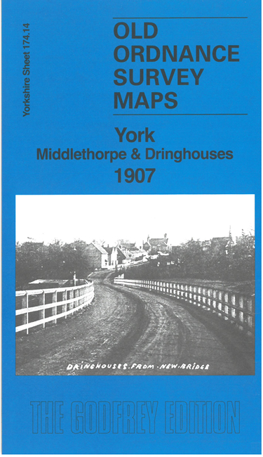
    This detailed map includes Dringhouses on the west, Middlethorpe to the east, a portion of Fulford, and most of York Racecourse and the Knavesmire.

    Features include Middlethorpe, with Middlethorpe Hall and Middlethorpe Manor; the old St Oswald's church at Fulford; the racecourse including grandstand; and Middlethorpe Lodge, Manor House, St Edward's Church, The Hollies at Dringhouses.

    On the reverse we include early directories of Bishopthorpe, Dringhouses and Middlethorpe, together with an introduction.

    The map links up with Yorkshire Sheet 174.10 York South to the north, 191.02 Bishopthorpe to the south.


  • For other information and prices, and other areas, go to The Index Page.
  • Maps in the Godfrey Edition are taken from the 25 inch to the mile map and reduced to about 15 inches to the mile. Follow this link for a complete list of our City of York maps; or here for the whole Yorkshire series.
    Alan Godfrey Maps, Prospect Business Park, Leadgate, Consett, Co Durham, DH8 7PW / sales@alangodfreymaps.co.uk / 27 November 2025