Old Ordnance Survey Maps of Teesside

  • These detailed maps normally cover an area of about one and a half miles by one mile. Each map includes an introduction.
  • They are available through our On-line Mapshop

  • Here are the details of maps for Skinningrove:

  • Yorkshire Sheet 8.15 Skinningrove 1927 - published 2025; intro by Alan Godfrey. ISBN.978-1-78721-879-6

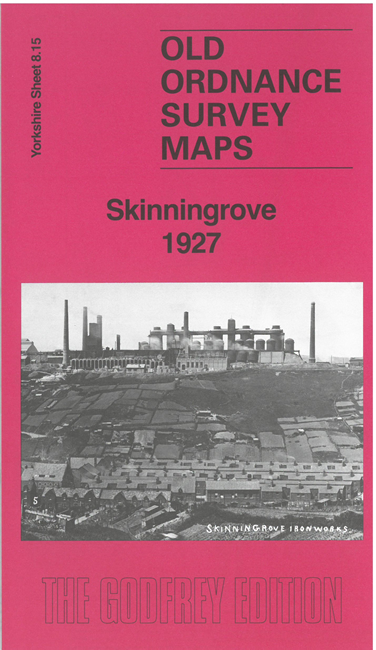
    This map is dominated by the great Skinningrove Iron works that stands high on the cliffs, shown here in great detail, with its railway network, blast furnaces, travelling cranes tanks and other features. It also includes Skinningrove village and part of Carlin How.

    Specific features include the Zig-Zag railway, LNER railway with Carlin How junction, Craggs Hall Mines, St Helen's church, Skinningrove Farm, Jetty, Cattersty Sands, Skinningrove Beck, Old Hall, etc. The map is double-sided to extend northward to Skinningrove tarmacadam works.

    The map links up with sheet 18.03 Loftus West 1927 to the south.


  • You can order maps direct from our On-line Mapshop. For other information and prices, and other areas, go to The Index Page
  • Maps in the Godfrey Edition are taken from the 25 inch to the mile map and reduced to about 15 inches to the mile. Follow this link for a complete list of our Teesside maps; or here for the whole Yorkshire series.
    Alan Godfrey Maps, Prospect Business Park, Leadgate, Consett, Co Durham, DH8 7PW / sales@alangodfreymaps.co.uk / 11 July 2025