
 Here are details of our maps for Bulford and Durrington:
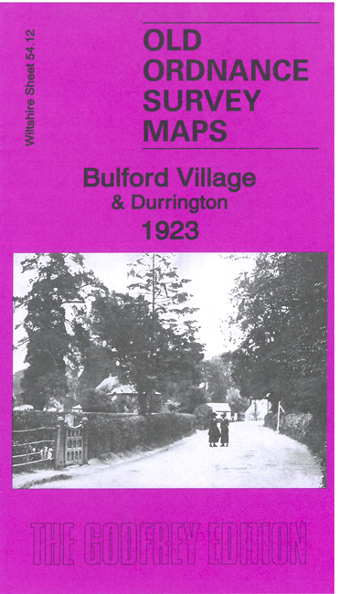
Wiltshire 54.12 Bulford Village & Durrington 1923 - published 2021; intro by Tony Painter. ISBN.978-1-78721-477-4 
This detailed map is double-sided for maximum coverage.
The main map covers the village of Bulford. Features include Bulford Extension railway with Bulford station, Bulford Manor, Seymour Farm, St John's church, River Avon, Stonehenge Inn, Bulford Bridge etc.
On the reverse we include part of adjacent sheet 54.08, coveringDurrington Village. Features here include All Saints church, training stables, Durrington House, Corn Mill etc.
The map links up with Wiltshire sheets 55.09 Bulford Camp to the east and 54.16 Amesbury to the south.