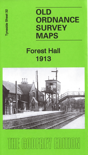
 Here are the details of maps for Forest Hall:

This detailed map covers Forest Hall and parts of West Moor, Killingworth Moor and Benton.
Features include St Bartholomew's church, Balliol College Farm, Christ Church, Forest Hall, Clousden Hill House, North Eastern Railway with Forest Hall station, section of Killingworth Wagonway, West Moor Pit, Benton North Farm, Scott's House Farm etc. (disused),
The area was in Longbenton UDC, which was an independent urban district until 1974, when it was absorbed into the new North Tyneside Metropolitan Borough.
The map links up with Tyneside Sheets 31 Longbenton to the south.
Maps in the Godfrey Edition are taken from the 25 inch to the mile map and reduced to about 15 inches to the mile. For a full list of maps for the North East, return to the North East page.
The Godfrey Edition / sales@alangodfreymaps.co.uk / 23 July 2020