 Here are the details of maps for Willington Quay:

We have published two versions of this map, showing how the area changed oer the years.
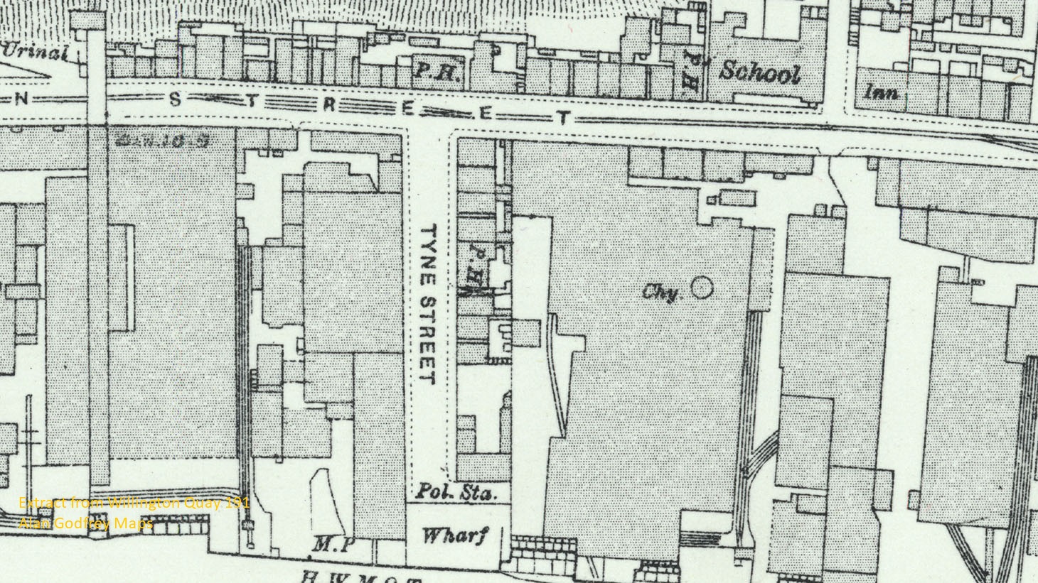
The maps covers the Willington Quay area and parts of east Wallsend, Howdon and the Rosehill area. Features include St Peter's church, Wallsend Colliery, numerous shipyards and marine engineering works along the Tyne, Willington Viaduct, Point Pleasant station, Willington Quay station, Howdon station, Howdon Pans, ballast hill, Clelands yard, Tharsis Copper Works, Tyne Cement Works, Wallsend Slipway & Engineering Works, tramways, NER Riverside Branch, Howdon Landing Stage, etc. We include extracts from early directories on the reverse.
This map links up with Tyneside Sheet 6 Wallsend to the West, Sheet 8 Percy Main to the east, Sheet 14 Jarrow to the south.
Further information:
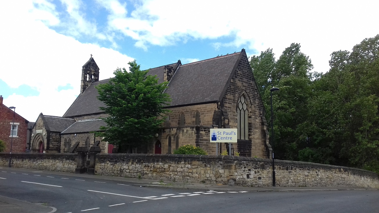
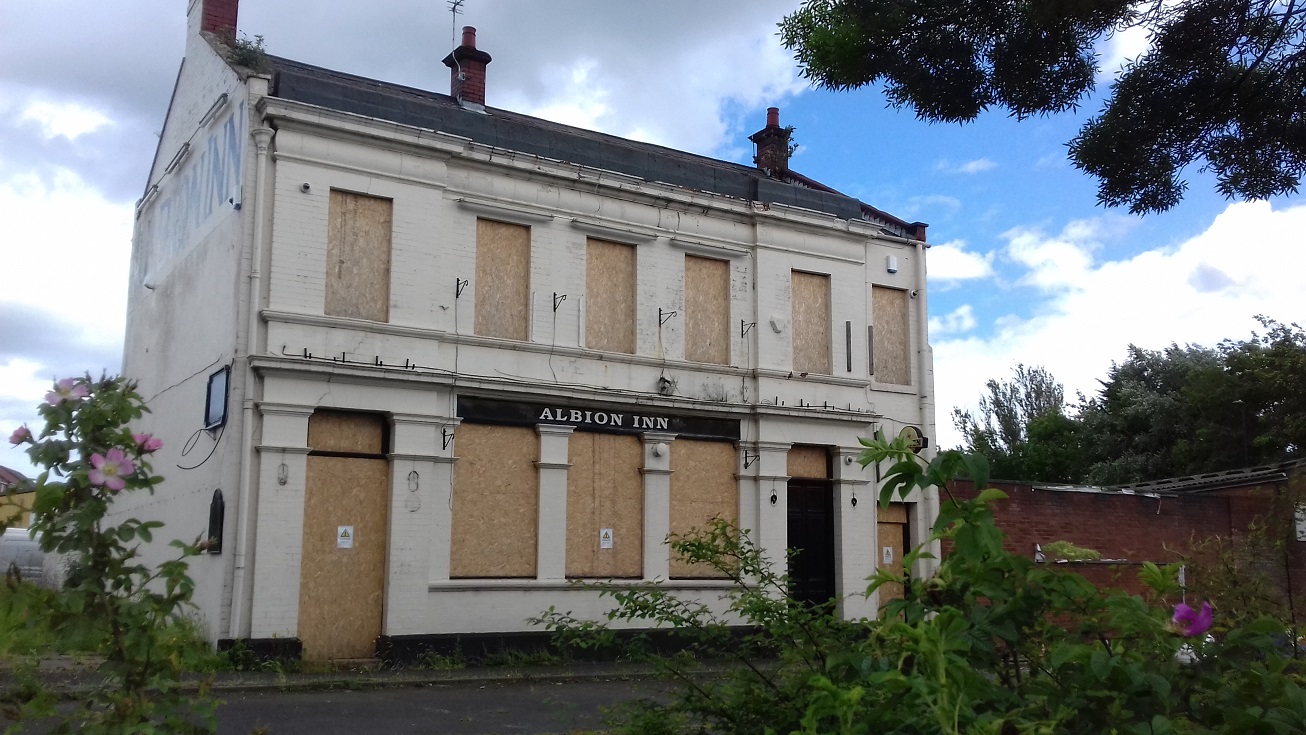
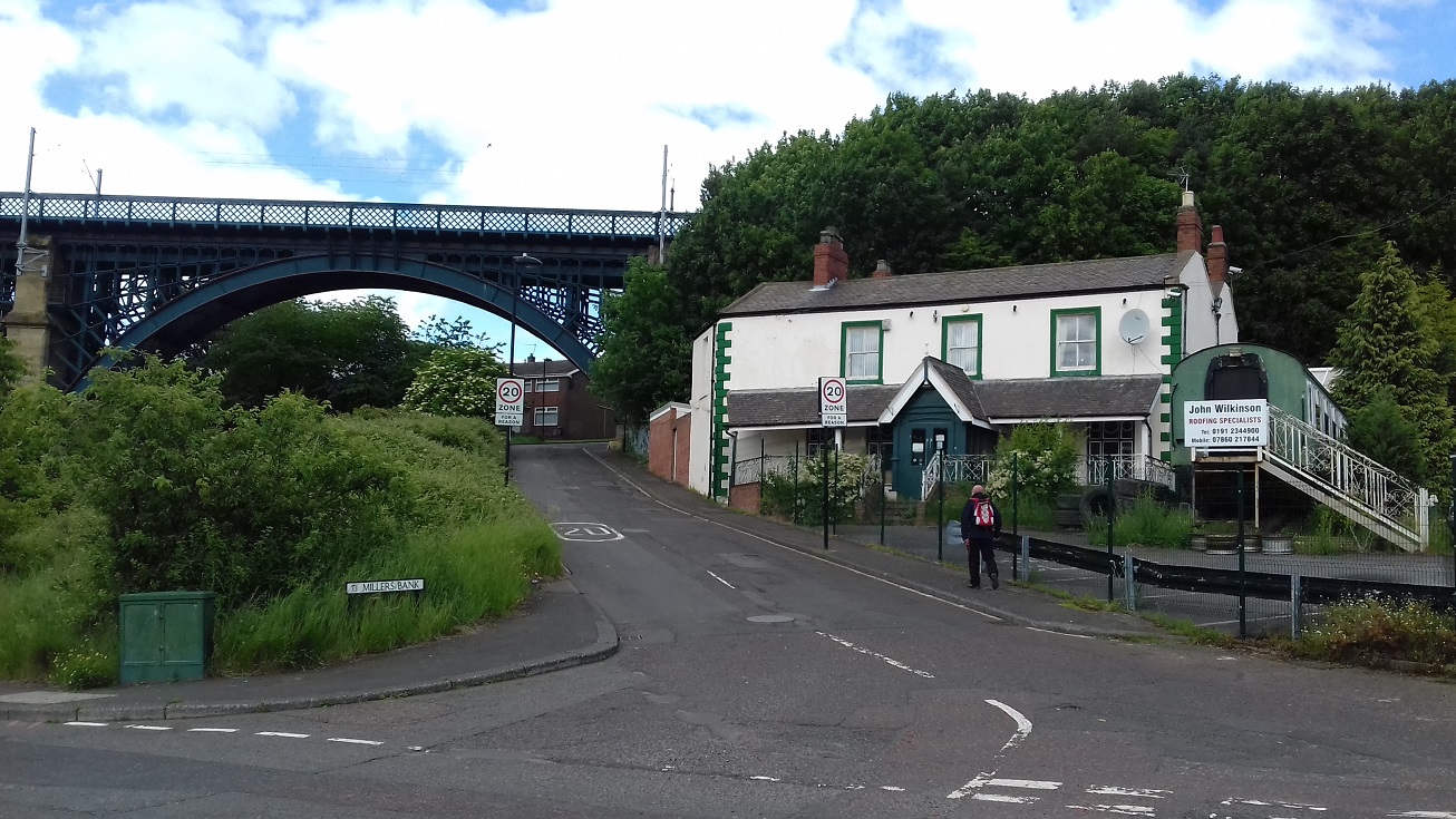
Willington Quay, a busy industrial community on the north bank of the Tyne, was briefly an independent urban district, before being absorbed by Wallsend Borough in 1910. Its riverfront was lined with ship-builders and -repairers, including Clelands and Tyne Iron Shipbuilders, but there was also Haggie's ropeworks, while Wallsend Colliery was not far away. It was served by the North Eastern Railways Tynemouth line but also by the Riverside Branch. Earlier Willington Quay had been the birthplace of the great engineer, Robert Stephenson, and much of his father's early engineering work had been carried out in the area.
 .
.
"As the population of the area grew during the 19th century, urban sanitary districts were formed for Wallsend, Howdon and Willington Quay. Wallsend was already a town of some substance and Willington Quay may have had similar aspirations, albeit it was described as “a most dingy place, of many smells and few beauties”; in 1894 it absorbed Howdon to become an urban district, its bounds neatly drawn along the Willington Gut, then eastward along the S side of the Newcastle to North Shields road, then down the unnamed stream near the E edge of the map. Its days as an independent authority would be brief. Wallsend too had become an urban district (UDC) in 1894 and in 1901 it became a Municipal Borough. This greatly enhanced its status and in 1910 it absorbed Willington Quay UD, together with the outlying portion of Willington parish, hitherto part of Tynemouth rural district. Since 1974 the area has been part of the new North Tyneside Metropolitan Borough."