
 Here are the details of maps for Stockton & Thornaby:

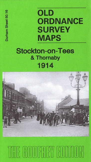
We have published two versions of this map, showing how the area changed across the years. The maps cover much of the centre of Stockton plus a portion of its neighbour across the Tees, Thornaby. Coverage stretches from Hartburn Bridge and Lustring Beck eastward to Thornaby station, and from Wellington Street southward to Peel Street in Thornaby.
Features include much of Stockton town centre, including the Town Hall, Market Place, Holy Trinity church, Thistle Green, Exchange Hall. Industrial features include Moor Steel & Iron Works, Parkfield Works, much of Bowesfield Iron Works, NER Goods station, Castle Moat ship yard, Corporation Quay. Transport features include tramways, many wharves and landing stages, various railway lines including Bowesfield Junction, tramway depot. Other features include Ropner Park. Features in Thornaby (in Yorkshire) include the station, South Stockton Iron Works, Stafford Pottery, Market Hall, George Street area, Bonlea Foundry, Teesdale Iron Works, Cleveland Flour Mills, part of Thornaby Iron Works, Thornaby shipbuilding yard, South Stockton Ship Yard etc
The map links up with Sheets 50.12 Stockton North to the north.