Old Ordnance Survey Maps of Stockton on Tees

  • These detailed maps normally cover an area of about one and a half miles by one mile. Each map includes an introduction.
  • They are available through our On-line Mapshop

  • Here are the details of maps for Stockton (N):

  • Co Durham 50.12a Stockton (North) 1899 - published 1994; intro by Bob Woodhouse. ISBN.978-0-85054-692-7
  • Co Durham 50.12b Stockton (North) 1914 - published 2021; intro by Alan Godfrey. ISBN.978-1-78721-422-4

    We have published two versions of this map, showing how the area changed across the years.

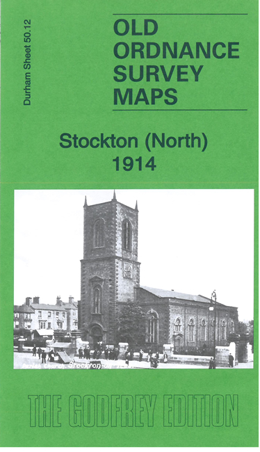
    The maps cover the northern part of Stockton, with coverage stretching from the cemetery eastward to St Ann's Hill, and from Mount Pleasant southward to Mill Street. Features include Stockton station, Newham Grange, West Stockton Iron Works, Westbourne Iron Works, Stockton Forge Works, NER North Shore Branch, North Shore Junction, Engine Works, Clarence Potteries, Portrack Lane Iron Works, workhouse, part of Stockton Malleable Iron Works, North Shore ship yard, cattle market, northern part of High Street, etc.

    The map links up with Sheets 50.08 Norton to the north and 50.16 Stockton & Thornaby to the south.


  • Follow this link for a complete list of our Stockton & Darlington area maps.
  • You can order maps direct from our On-line Mapshop. For other information and prices, and other areas, go to The Index Page.
  • Maps in the Godfrey Edition are taken from the 25 inch to the mile map and reduced to about 15 inches to the mile. For a full list of maps for the North East, return to the North East page.
    The Godfrey Edition / sales@alangodfreymaps.co.uk / 7 April 2021