Staffs 51.06 Hednesford 1915 - published 2023; intro by Barrie Trinder. ISBN.978-1-78721-705-8 
This detailed map gives very good coverage of Hednesford.
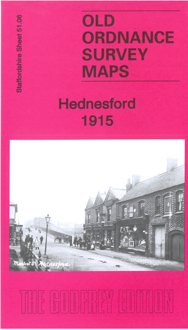
Features include town centre with individual buildings neatly shown, LNWR railway and station, High Town, West Cannock Colliery,
Pit 3, mineral railways and tramways, Briers Knob, Duncan's Hill, St Peter's church, Church Hill, Cannock & Rugeley Colliery Pool Pits, etc
The map links up with sheet 51.10 Cannock North to the south.
For a full list of maps of Staffordshire, please go to the Staffordshire page or the
Potteries page. For other information and prices, and other areas, go to The Index Page.
Maps in the Godfrey Edition are taken from the 25 inch to the mile map and reduced to about 15 inches to the mile.
For a full list of maps for England, return to the England page.
Alan Godfrey Maps, Prospect Business Park, Leadgate, Consett, Co Durham, DH8 7PW /
sales@alangodfreymaps.co.uk / 9 January 2024

 Here are the details of maps for Hednesford: