Staffs 50.03 Penkridge 1921 - published 2024; intro by Barrie Trinder. ISBN.978-1-78721-711-9 
This detailed map gives very good coverage of Penkridge.
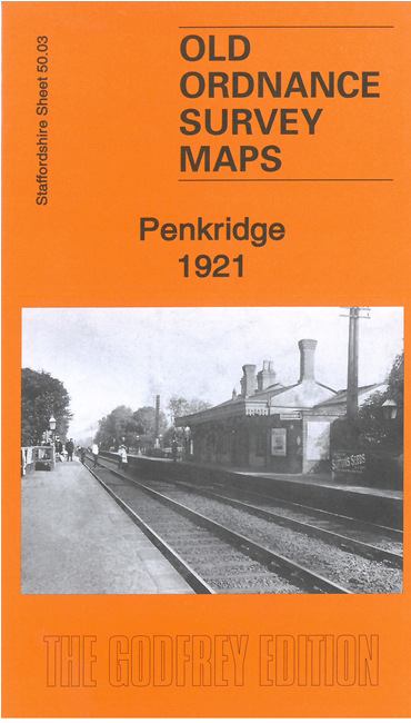
Features include village centre with individual buildings neatly shown, railway with station, cattle market, St Michael & All Angels church,
River Penk, Crown Bridge, Haling Grove, Staffordshire & Worcestershire Canal, Boscomor, Wolgarston etc.
The map includes a 1912 directory of the village together with a specially written introduction.
For a full list of maps of Staffordshire, please go to the Staffordshire page or the
Potteries page. For other information and prices, and other areas, go to The Index Page.
Maps in the Godfrey Edition are taken from the 25 inch to the mile map and reduced to about 15 inches to the mile.
For a full list of maps for England, return to the England page.
Alan Godfrey Maps, Prospect Business Park, Leadgate, Consett, Co Durham, DH8 7PW /
sales@alangodfreymaps.co.uk / 9 January 2024

 Here are the details of maps for Penkridge: