Old Ordnance Survey Maps of Staffordshire

  • These detailed maps normally cover an area of about one and a half miles by one mile. Each map includes an introduction. You can order maps direct from our On-line Mapshop.

  • Here are the details of maps for Rugeley:

  • Staffs 45.08 Rugeley (North) 1921 - published 2024; intro by Barrie Trinder. ISBN.978-1-78721-709-6
  • Staffs 45.12 Rugeley (South) 1921 - published 2024; intro by Barrie Trinder. ISBN.978-1-78721-710-2

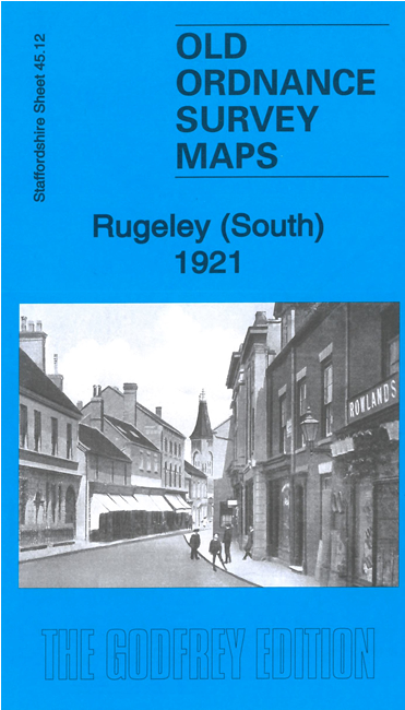
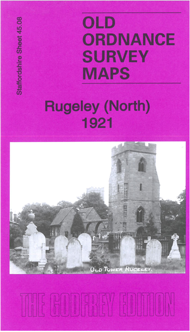
    We have published two maps which link up with each to provide excellent coverage of Rugeley.

    Features on the Rugeley North map include Market Place and the area to the north, including Phoenix Tannery, St Augustine's Church, Grammar School, railway with Rugeley junction and main line station, Parchfield House, chapels, cemetery, etc.

    Features on the Rugeley South map include Brook Square and area to the south, including Rugeley Town station, Brereton Colliery Branch, Hagley Hall, Hagley Park, RC Church, Marlpits, Mossley, Trent & Mersey Canal, etc.

    The map includes a 1912 directory of the town and each has a specially written introduction.


  • For a full list of maps of Staffordshire, please go to the Staffordshire page or the Potteries page. For other information and prices, and other areas, go to The Index Page.
  • Maps in the Godfrey Edition are taken from the 25 inch to the mile map and reduced to about 15 inches to the mile. For a full list of maps for England, return to the England page.
    Alan Godfrey Maps, Prospect Business Park, Leadgate, Consett, Co Durham, DH8 7PW / sales@alangodfreymaps.co.uk / 22 February 2024