
 Here are the details of maps for Stone:

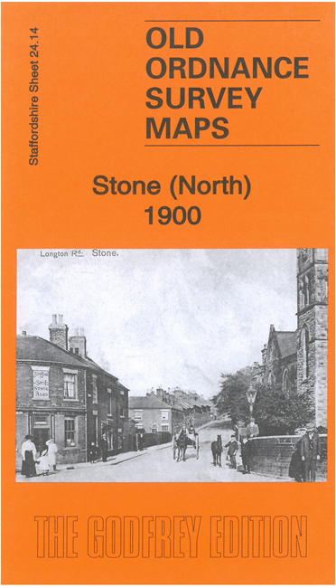
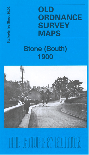
These two maps link up to provide excellent coverage of Stone.
Features on the Stone (North) map include Christ Church, convent, St Dominic's RC chapel, Stonefield, Oultoncross, Alleyne's Grammar School, convent and southern tip of Oulton, Mudley Pits, Bent's Brewery, railway junction and station, Meaford Hall, Meaford Old Hall Farm, etc.
Features on the Stone (South) map include town centre, High Street, Stone Union Workhouse, Trent & Mersey Canal, St Michael's church, Manor House, Walton Grange, Priory Farm, Park House, Brassworks Farm etc.
The maps also include extracts from a 1912 directory of Stone and each has a specially written introduction to the history of the area.