Old Ordnance Survey Maps of Shropshire

  • These detailed maps normally cover an area of about one and a half miles by one mile. Each map includes an introduction.
  • They are available through our On-line Mapshop

  • Here are the details of maps for Shrewsbury (East):

  • Shropshire Sheet 34.11a Shrewsbury (East) 1900 - published 1989; intro by Barrie Trinder. ISBN.978-0-85054-302-5
  • Shropshire Sheet 34.11b Shrewsbury (East) 1925 - published 2024; intro by Barrie Trinder. ISBN.978-1-78721-773-7

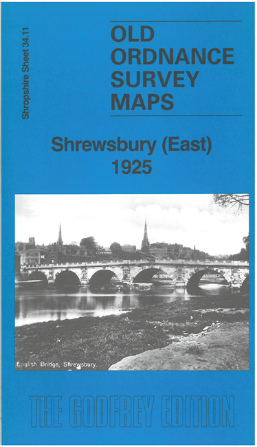
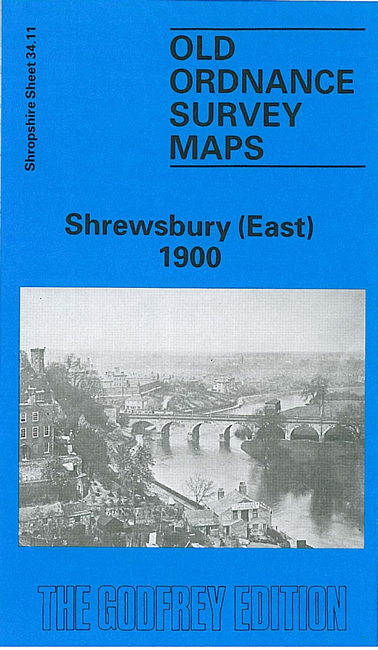
    We have published two versions of this map, showing how the area changed across the years. They cover the eastern part of the town.

    The many features include English Bridge, Wyle Cop, station and approaches from the east, Abbey Church, engine sheds, Belle Vue Road, Shropshire & Montgomeryshire Railway with terminus, Holy Trinity church, football ground, Longden Coleham, Lord Hill's Column, St Giles church, Portland House, Cherry Orchard, etc.


    This map links up with Shropshire Sheet 34.07 Shrewsbury (North) to the North and 34.10 Shrewsbury (West) to the West


  • Follow this link for a complete list of our Shropshire or Telford maps. For other information and prices, and other areas, go to The Index Page.
  • Maps in the Godfrey Edition are taken from the 25 inch to the mile map and reduced to about 15 inches to the mile. For a full list of maps for England, return to the England page.
    The Godfrey Edition / sales@alangodfreymaps.co.uk / 9 July 2024