
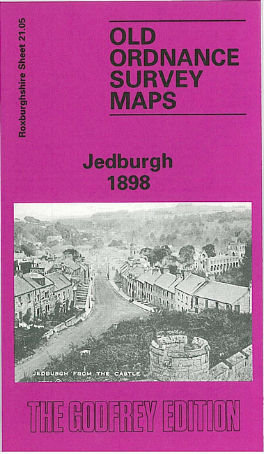
 Here are the details of maps for Jedburgh:
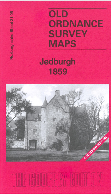


We have published two versions of this map, showing how the town changed across the years. The 1859 version is in colour, taken from the rare OS experimental colour-printed map.
Our detailed map of Jedburgh is double-sided to give maximum coverage. The main map covers most of the town, with coverage stretching from Bongate Mill and Old Bongate southward to Inchbonny and Allars Mill. Features include town centre with individual buildings neatly shown, Jedburgh Abbey, Canongate Mill, Allerley Well Park, Lothian Park, castle site, Glenburn Hall, Doom Hill, Tudhope, Townfoot Bridge, Queen Mary's House, Poorhouse, Old Jail etc.
On the reverse we include parts of adjacent sheets 21.01 and 21.02 extending coverage north to include railway station, New Bongate Mill, Jed Water, Hartrigge (1898 map only), Bonjedard House.