
 Here are the details of maps for Romford:

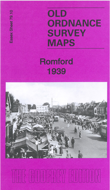
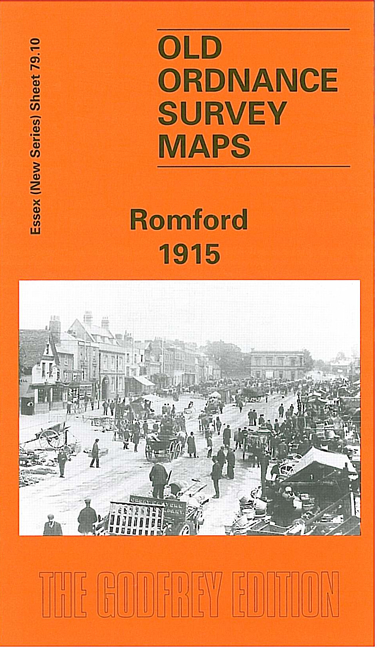
We have published two versions of this map, showing how the area changed across the years. The maps cover much of the centre and southern end of Romford, coverage stretching from Crown Farm on the outskirts of the town eastward to King Edward Road, and from the Cattle Market and St Edward's church southward to Rush Green Road.
Features (from the 1939 version) include the GER railway which runs W-E across the map, with Romford station; Romford Brewery, Oldchurch Hospital (former workhouse), greyhound stadium, Crown Farm, St Andrew's church, St Edward's church, cinemas, cemetery, schools, cattle market etc.
The map links up with Essex Sheet 79.09 Chadwell Heath to the west, 79.11 Heath Park to the east and 79.14 Rush Green to the south.