
 Here are the details of maps for Prudhoe:

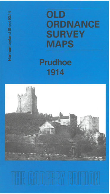
This detailed map gives very good coverage of Prudhoe.
Features include Prudhoe Castle, Prudhoe village with individual buildings neatly shown, St Cuthbert's RC Church, St Mary Magdalene's Church, cinema, council offices, West Wylam, West Wylam Colliery, Prudhoe Main colliery, railway connections and sidings, etc.
We include extracts from an early directory on the reverse, together with a specially written introduction.
The map links up with sheet 93.13 Ovingham to the west.