Old Ordnance Survey Maps of Northumberland

  • These detailed maps normally cover an area of about one and a half miles by one mile. Each map includes an introduction.
  • They are available through our On-line Mapshop

  • Here are the details of maps for Haltwhistle:

  • Northumberland Sheet 92.05 Haltwhistle 1895 - published 2026; introduction by Alan Godfrey. ISBN.978-1-78721-956-4

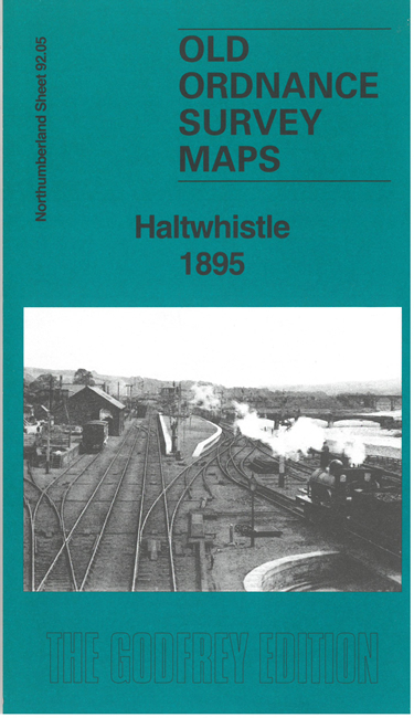
    This detailed map gives very good coverage of Haltwhistle.

    Features include town centre with individual buildings neatly shown, Haltwhistle Union Workhouse, railway with Haltwhistle Station, part of Alston Branch, Greencroft, Holy Cross Church, Town Foot, River South Tyne, Haltwhistle Mill, wagonway, etc.

    On the reverse we incliude an extract from the 1st edition six-inch map 92 showing the Haltwhistle area in 1862, together with a specially written introduction.


  • Follow this link for a complete list of our Northumberland maps. For other information and prices, and other areas, go to The Index Page.
  • Maps in the Godfrey Edition are taken from the 25 inch to the mile map and reduced to about 15 inches to the mile. For a full list of maps for the North East, return to the North East page.
    The Godfrey Edition / sales@alangodfreymaps.co.uk / 19 March 2026