Northumberland Sheet 86.12 Monkseaton 1914 - published 2025; intro by Anthea Lang. ISBN.978-1-78721-878-9 
This detailed map covers the village of Monkseaton.
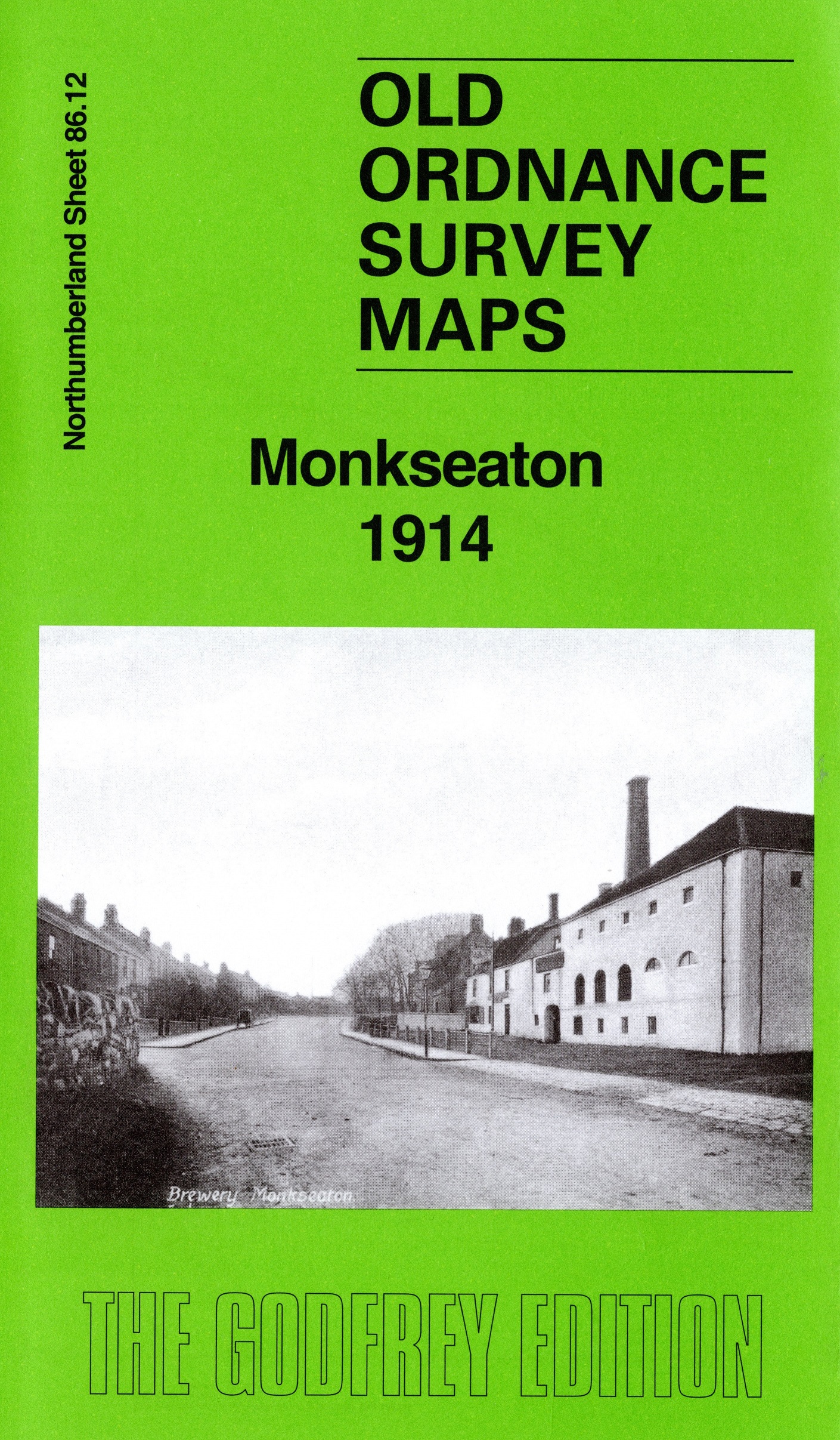
Features include railway with new line under construction, St Paul's church, tramway, Whitley Quarry, Northumberland Square etc. The village was only just beginning to spread across the fields.
We include a 1934 commercial directory on the reverse.
Follow this link for a complete list of our Northumberland maps.
For other information and prices, and other areas, go to The Index Page.
Maps in the Godfrey Edition are taken from the 25 inch to the mile map and reduced to about 15 inches to the mile.
For a full list of maps for the North East, return to the North East page.
The Godfrey Edition / sales@alangodfreymaps.co.uk / 8 August 2025

 Here are the details of maps for Monkseaton: