Old Ordnance Survey Maps of Northumberland

  • These detailed maps normally cover an area of about one and a half miles by one mile. Each map includes an introduction.
  • They are available through our On-line Mapshop

  • Here are the details of maps for Newbiggin:

  • Northumberland Sheet 65.10 Newbiggin by the Sea 1896 - published 1993; intro by Bill Harrison. ISBN.978-0-85054-550-1
  • Northumberland Sheet 70.03 Newbiggin by the Sea 1921 - published 2023; intro by Anthea Lang. ISBN.978-1-78721-680-8

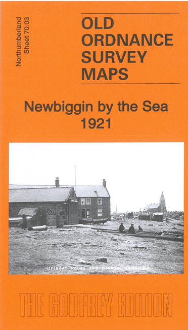
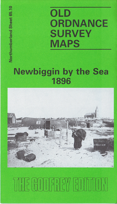
    We have published two versions of this map, showing how the village changed across the years. Note that they are on slightly different sheetlines. Newbiggin grew from a small Northumbrian fishing village and seaside resort, to which "Every weekend people from surrounding mining villages walked or travelled by horse and trap or train to the village to enjoy a pleasant day by the sea", as Bill Harrison tells us in his introduction to the 1896 map.

    Features (taken from the 1921 map) include St Bartholomew's church, railway station, village centre with all buildings neatly shown, lifeboat house, Old Ship Hotel, etc. We extend coverage of the 1921 map northward to include Newbiggin Colliery.


  • Follow this link for a complete list of our Northumberland maps.
  • You can order maps direct from our On-line Mapshop. For other information and prices, and other areas, go to The Index Page.
  • Maps in the Godfrey Edition are taken from the 25 inch to the mile map and reduced to about 15 inches to the mile. For a full list of maps for the North East, return to the North East page.
    The Godfrey Edition / sales@alangodfreymaps.co.uk / 27 November 2023