
 Here are the details of maps for Ashington:

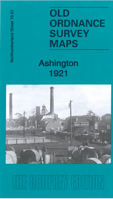
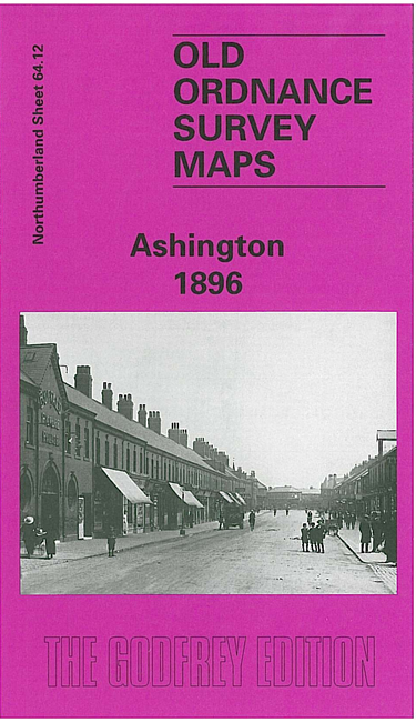
These remarkable and highly detailed maps shows the mining village of Ashington, considered a model pit village when founded in the 1860s. They are notable for showing the horse-drawn tramway system, almost 10 miles long, that ran through most of the streets taking coal to the houses and removing refuse and night soil. Note that the OS changed the sheetlines in the 20th century and so the maps are on different sheetlines.
The 1921 map gives excellent coverage of Ashington and also covers much of Hirst. Features include railway with station, junction, Holy Sepulchre church, Ashington Colliery, Ashington Colliery Railway, Linton & Ellington Colliery Railway, Miners Theatre, football ground, tramways along the back streets, hospital, etc.
The 1896 map, on different sheetlines, gives excellent coverage of Ashington but only covers a small portion of Hirst. On the reverse it includes part of the map to the east, including Woodhorn Colliery.