Old Ordnance Survey Maps of Northumberland

  • These detailed maps normally cover an area of about one and a half miles by one mile. Each map includes an introduction.
  • They are available through our On-line Mapshop

  • Here are the details of maps for Rothbury:

  • Northumberland Sheet 41.16 Rothbury 1921 - published 2026. Introduction by Anthea Lang. ISBN.978-1-78721-947-2

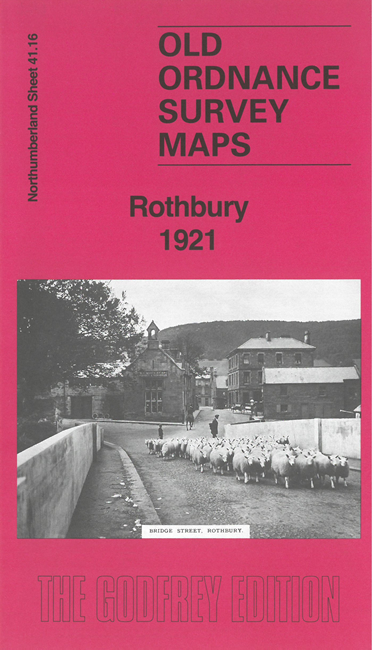
    This detailed map gives good coverage of the small town of Rothbury.

    Features include town centre with individual buildings shown, All Saints church, Jubilee Institute, County Hotel, Whitton Grange, railway station, Rothbury Poor Law Institution. Cover extends west to Old Rothbury, Beggars Rigg and the Steeplechase Course.

    On the reverse we include an 1897 directory of Rothbury together with a specially written introduction to the history of the town.


  • Follow this link for a complete list of our Northumberland maps. For other information and prices, and other areas, go to The Index Page.
  • Maps in the Godfrey Edition are taken from the 25 inch to the mile map and reduced to about 15 inches to the mile. For a full list of maps for the North East, return to the North East page.
    The Godfrey Edition / sales@alangodfreymaps.co.uk / 15 January 2026