
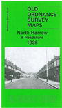
 Here are the details of maps for Harrow (North)

This detailed map covers the northern part of Harrow, with coverage stretching from Lincoln Road eastward to Torver Road, and from Vaughan Road northward to Victor Road.
Features on the map, covering a largely residential area, include the Kodak Works (at top of map), stretch of the Metropolitan line incl North Harrow station, cemetery, Headstone area, Headstone Hotel, Pinner Court, St George's church, etc.
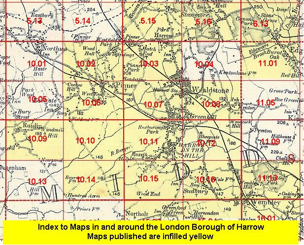
The map links up with Middlesex Sheets 10.03 Wealdstone to the north, 10.06 Pinner South to the west, 10.08 Kenton to the east and 10.11 Harrow on the Hill to the south.
 Follow this link for a list of our maps for the London Borough of Harrow, or here for a complete list of our London maps .