
 Here are the details of the map for the north Shadwell area:

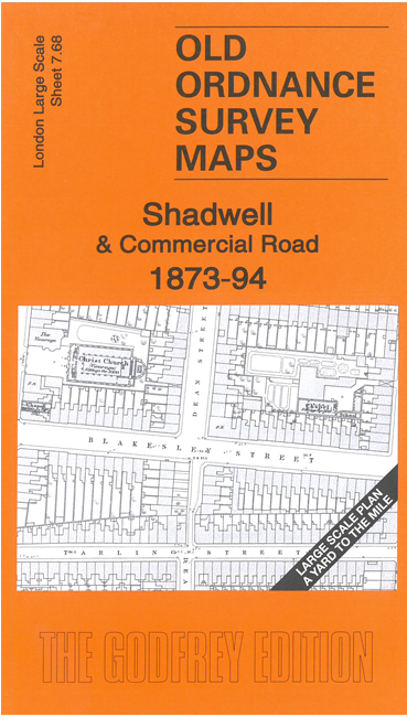
This very detailed map covers north Shadwell and the largely residential area either side of Commercial Road. It is double-sided, with the 1873 map on one side and a reduced version of the 1894 map on the area. We also include an introduction to the history of the area.
Features (from 1871 map) include Commercial Road area, London & Blackwall railway with Shadwell station, Cable Street (at foot of map), St Andrew's Chapel, Wycliffe Chapel, Post Office, Christ Church, St Mary & St Michael's RC Chapel, St Mary's church, St John the Evangelist's church, Patent Rope Manufactory, Vestry Hall, etc. Churches and some other public buildings have interiors mapped.
The map links up with sheet 7.67 Aldgate to the west and 7.58 Whitechapel to the north.