
 Here are the details of the map for the Lord's area:

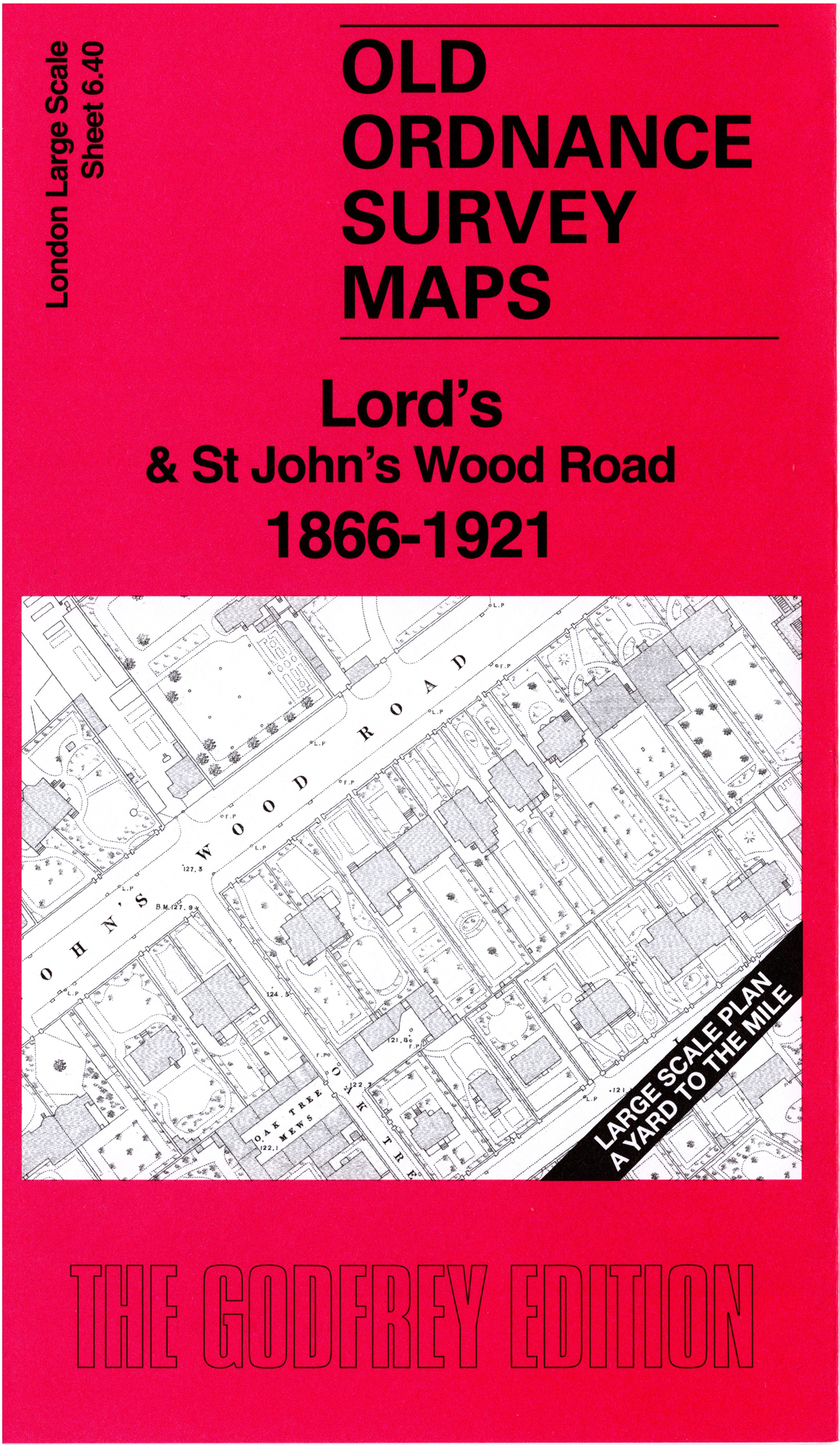
This very detailed map covers the area around and to the east of Lord's Cricket Ground, with coverage extending eastward to part of Regent's Park.
Features include Lord's, Regent's Park Baptist College, St Dunstans (later replaced by Winfield House, home to the US ambassador), Metropolitan Railway with the first St John's Wood Station, North Villa, Hanover Lodge, Grove Lodge, Regent's Canal, St John's Wood Chapel and Cemetery, Clergy Orphan School, Wellington Nursery etc.
The 1921 version of the map is on the reverse, together with a 2,000 word introduction to the history of the area.
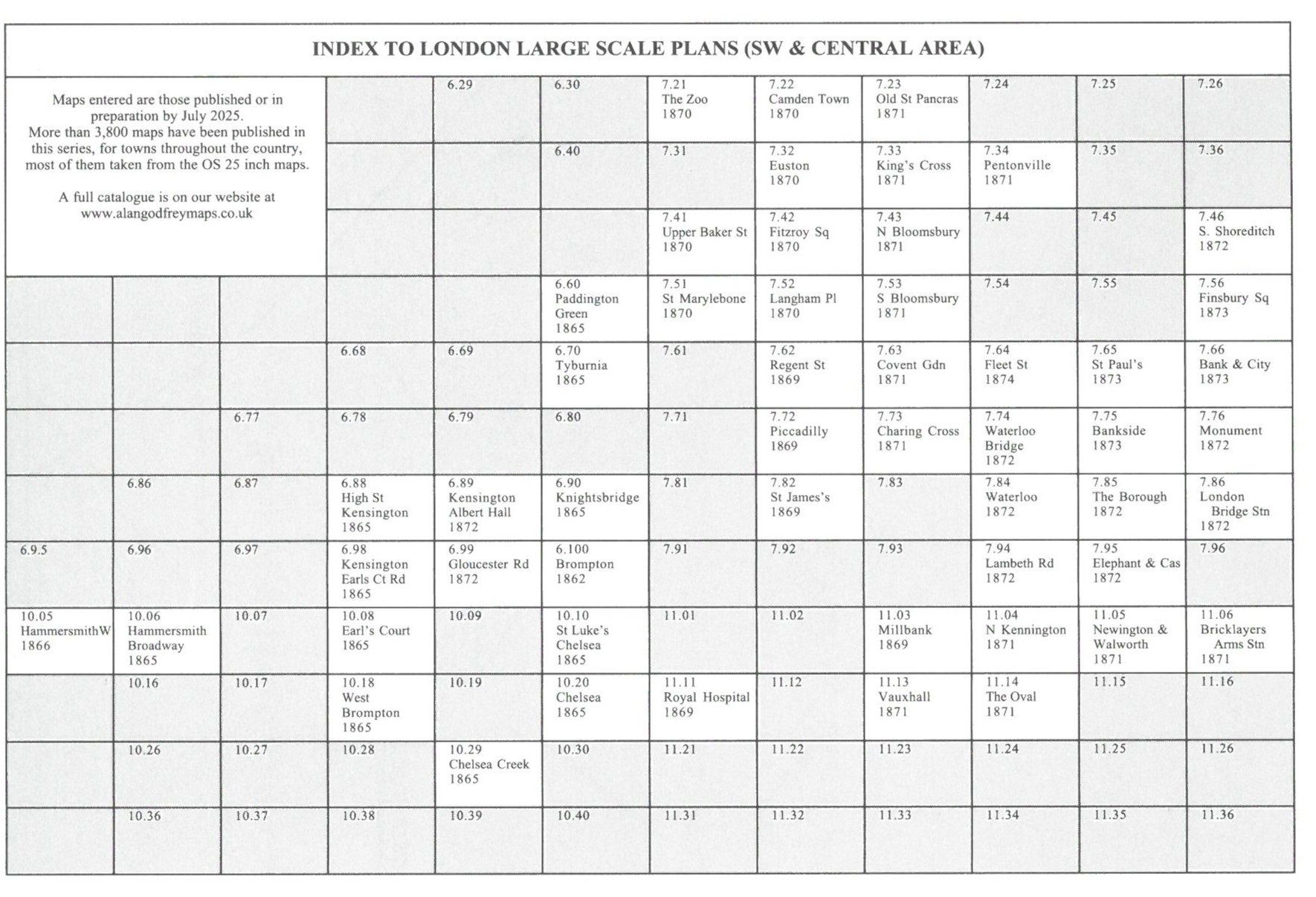
The map links up with sheet 6.30 St John's Wood (E) to the north.