
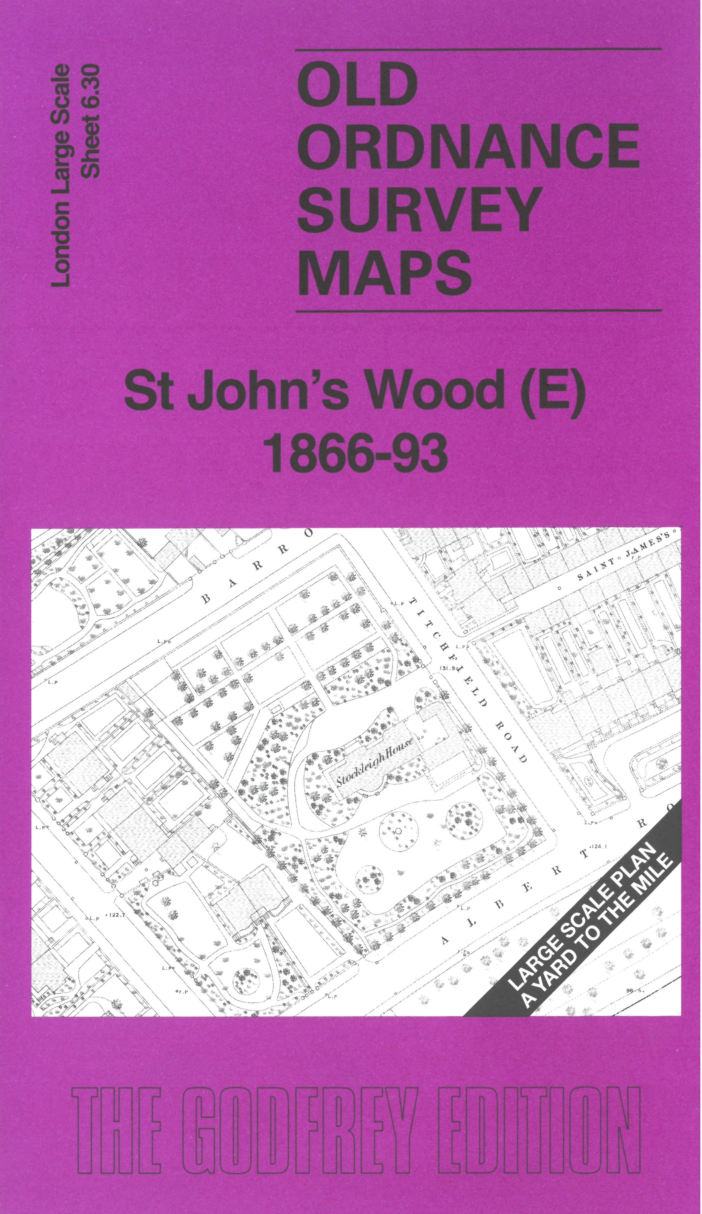
 Here are the details of the map for St John's Wood:

This very detailed map covers the eastern part of St John's Wood. Coverage stretches from St John's Wood Barracks and Ordnance Road eastward to the edges of Regent's Park and Primrose Hill.
Features include St Stephen's Church, Macclesfield Bridge, Stockleigh House, All Saints Church, together with many detached and semi-detached villas, often with their garden layouts given.
The 1893 version of the map is on the reverse, together with a 2,000 word introduction to the history of the area.
The map links up with sheet 6.29 St John's Wood (W) to the west, 7.21 The Zoo to the east, 6.40 Lords to the south.