Old Ordnance Survey Maps of Greater Manchester

  • These detailed maps normally cover an area of about one and a half miles by one mile. Each map includes an introduction.
  • They are available through our On-line Mapshop

  • Here are the details of maps for Fallowfield:

  • Lancashire 111.03a Fallowfield 1904 - published 1994; intro by Chris Makepeace. ISBN.978-0-85054-686-6
  • Lancashire 111.03b Fallowfield & South Rusholme 1916 - published 2019; intro by Chris Makepeace. ISBN.978-1-78721-259-6
  • Lancashire 111.03c Fallowfield & South Rusholme 1933 - published 2019; intro by Alan Godfrey. ISBN.978-1-78721-260-2

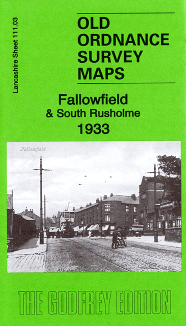
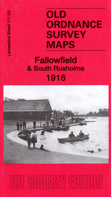
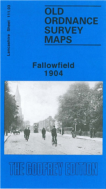
    We have published three versions of this map, showing how the area developed across the years.

    The maps cover the area of Manchester around Fallowfield, including the southern part of Rusholme. Coverage stretches from Brook Road northward to Dickenson Road. Features include a stretch of the GCR railway with Fallowfield station, Owen's College Athletic Ground, Manchester Athletic Ground, Grangethorpe, Oakley and several other detached houses, Burnage Hall (in SE corner), Slade Farm, Platt Bridge, Baptist College, Birch Hall, Demesne Farm, Holy Trinity church, tramway, Maine Road football ground, etc.

    On the reverse we include extracts from early street directories, together with an introduction to the history of the area.

    The map links up with sheets 104.15 Victoria Park to the north, 111.02 Whalley Range to the west, 111.04 Levenshulme to the east and 111.07 Withington to the south.


  • Follow this link for a complete list of our Manchester or Salford maps.
  • You can order maps direct from our On-line Mapshop. For other information and prices, and other areas, go to The Index Page.
  • Maps in the Godfrey Edition are taken from the 25 inch to the mile map and reduced to about 15 inches to the mile. For a full list of maps for the North West, return to the North West page.
    The Godfrey Edition / sales@alangodfreymaps.co.uk / 19 August 2019