Old Ordnance Survey Maps of Kent

  • These detailed maps normally cover an area of about one and a half miles by one mile. Each map includes an introduction.
  • They are available through our On-line Mapshop

  • Here are the details of maps for east Dartford:

  • Kent Sheet 9.07 Dartford (East) & Stone (West) 1907 - published 2023; intro by Pamela Taylor. ISBN.978-1-78721-666-2

    This detailed map covers the eastern part of Dartford and extends eastward to Cobbs Croft, John's Hole and the Metropolitan District Asylum and Schools.

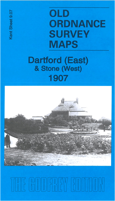
    Features include City of London Mental Hospital, Stonelodge Farm, large part of 'Metropolitan District Imbecile Asylum & Schools', Dartford New Town, tramways, Bigmores, The Brent, Hesketh Park, cemetery etc. A directory of Stone in 1907 is included on the reverse.

    The map links up with sheet 9.06 Dartford to the west, 9.03 Dartford NE to the north and 9.11 Darenth to the south.


  • For other maps in Kent see our Kent page. For other information and prices, go to The Index Page
  • Maps in the Godfrey Edition are taken from the 25 inch to the mile map and reduced to about 15 inches to the mile. For a full list of maps for England, return to the England page
    The Godfrey Edition / sales@alangodfreymaps.co.uk / 1 November 2023