
 Here are the details of maps for Greenhithe:

This detailed map covers the riverside village of Greenhithe, the village of Stone, and several wharves along the southern bank of the Thames.
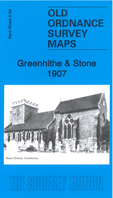
Features include Deepwater Pier, Shield Portland Cement Works, Greenhithe Portland Cement Works; Stone village with St Mary's church, Portland Cement Works, Johnson's Wharf; Greenhithe village with High Street, St Mary's church, Whiting Works, Town Wharf, Ingress Park, Ingress Abbey, Greenhithe Station, Ingress Gardens, Ingress Abbey Wharf, Ingress Abbey Paper Mills, Black Duck Barge Yard, various railway sidings and tramways, etc
The map links up with sheet 9.03 Dartford NE to the west, 10.01 Swanscombe North to the east.