
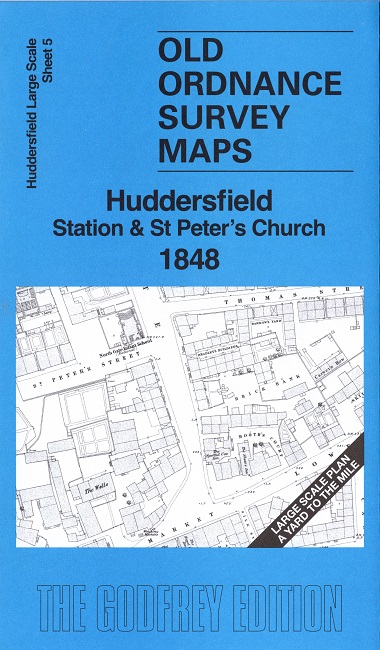
 Here are the details of our map for the Station and St Peter's area:

This highly detailed map covers the central area of Huddersfield around the Station and St Peter's Parish Church.
Features include Railway Station and track approach, St Peter's Church, Fountain Street School, Brick Mill, Wells Mill, Methodist Chapel, Huddersfield & Upper Agbrigg Infirmary, St Patrick's Chapel, Unitarian Chapel, Newhouse Terrace, northern part of Market Place, West Gate, Kirk Gate, Beast Market, Quay Street, Sir John Ramsden's Canal, Huddersfield Gasworks, Cliffs Mill, Turn Bridge Foundry, Turn Bridge Mills, many pubs, etc. The map covers a fascinating stage in Huddersfield's history, with the railway just built and land being prepared for the new John William Street. Both the old and new George Hotel are shown.
On the reverse we include 1:500 sheet 246.15.3 covering part of the area in 1889.
The map links up sheet 4 Huddersfield: Greenhead & Trinity to the west.