Hampshire Sheet 65.05 Southampton (Millbook & Redbridge) 1931 - published 2020; intro by Tony Painter. ISBN.978-1-78721-382-1 
This detailed map covers the villages of Millbrook and Redbridge west of Southampton, and the western Millbrook Ward area of Southampton itself.
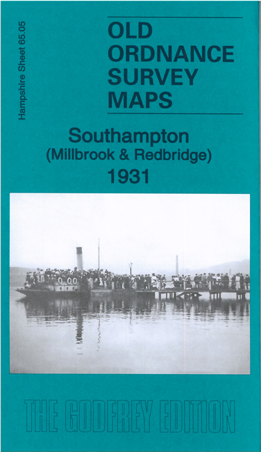
Features include railways with Redbridge station, Redbridge Wharf, Clover Nooke, Wimpson, Mousehole, Millbrook village, Holy Trinity church,
Isolation Hospital, Millbrook Lodge, British American Tobacco Factory, St Nicholas church, Blighmont Lodge, etc.
Follow this link for a complete list for Hampshire.
You can order maps direct from our On-line Mapshop.
For other information and prices, and other areas, go to The Index Page.
Maps in the Godfrey Edition are taken from the 25 inch to the mile map and reduced to about 15 inches to the mile.
For a full list of maps for England, return to the England page.
Alan Godfrey Maps, Prospect Business Park, Leadgate, Consett, Co Durham, DH8 7PW / sales@alangodfreymaps.co.uk / 12 January 2018

 Here are the details of maps for Millbrook and Redbridge: