Old Ordnance Survey Maps of Edinburgh

  • These detailed maps normally cover an area of about one and a half miles by one mile. Each map includes an introduction.
  • They are available through our On-line Mapshop

  • Here are the details of maps for Newtongrange

  • Edinburghshire 8.15 Newtongrange 1906 - published 2024 intro by Alan Godfrey. ISBN.978-1-78721-717-1

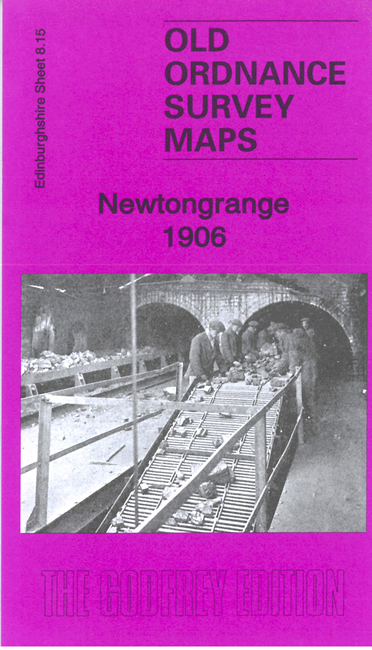
    This detailed map covers the old mining village of Newtongrange.

    Features include the village in detail with individual houses neatly shown. Features include Lady Victoria Colliery, Newbattle Colliery, railway, mineral railways, Monkswood, Deanpark, Abbeyland, Newton Grange House, Lingerwood, Bryans Pit, etc.

    On the reverse we include a large extract from the 1913 revision of the map, showing how the village developed, together with a specially written introduction to the history of the area.


  • Follow this link for a complete list of our Edinburgh maps.
  • You can order maps direct from our On-line Mapshop. For other information and prices, and other areas, go to The Index Page.
  • Maps in the Godfrey Edition are taken from the 25 inch to the mile map and reduced to about 15 inches to the mile. For a full list of maps for Scotland, return to the Scotland page.
    The Godfrey Edition / sales@alangodfreymaps.co.uk / 22 February 2024