Co Durham 56.04 Old Thornaby 1913 - published 2021; intro by Alan Godfrey. ISBN.978-1-78721-395-1 
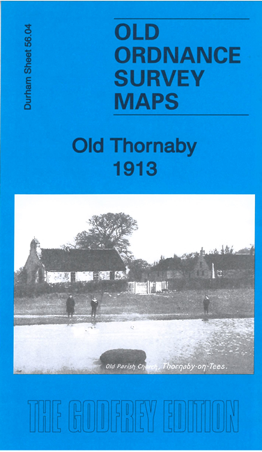
This detailed map covers the southern part of Thornaby around The Green and St Peter's church, and also a southern part
of Stockton. Features there include Egglescliffe Iron Works, Eaglescliffe Hotel, Bowesfield, Tees Bridge Iron Works, Richmond Iron Works,
Tees Bridge Brick Works. St Paul's church Thornaby is at the top of the map.
The map links up with Sheets 50.16 Stockton-on-Tees to the north.
Follow this link for a complete list of our Stockton & Darlington area maps.
You can order maps direct from our On-line Mapshop.
For other information and prices, and other areas, go to The Index Page.
Maps in the Godfrey Edition are taken from the 25 inch to the mile map and reduced to about 15 inches to the mile.
For a full list of maps for the North East, return to the North East page.
The Godfrey Edition / sales@alangodfreymaps.co.uk / 9 Feb 2021

 Here are the details of maps for Old Thornaby: