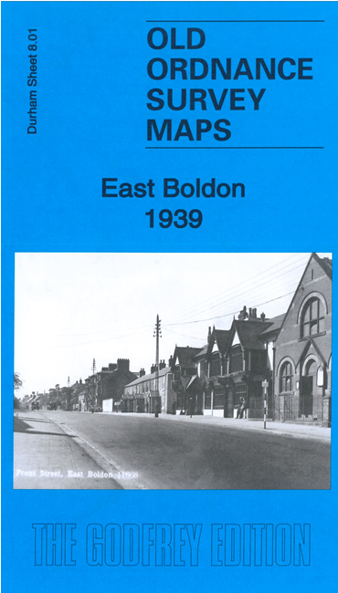
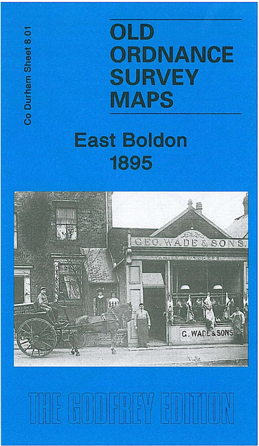
Durham Sheet 8.01b East Boldon 1939 - published 2023; intro by Anthea Lang. ISBN.978-1-78721-637-2 
We have published two versions of this detailed map, showing how the area changed across the years.
The maps cover the village of East Boldon, midway between Sunderland and South Shields. The Newcastle & Sunderland railway runs through
the map which includes Cleadon Lane (later East Boldon) station. Other features include Cleadon Lane Works, St George's church,
Cleadon Junction Brickworks etc.
The map links up with sheet 7.04 Boldon Colliery to the west.
Follow these links for lists of our Co Durham, Gateshead or Sunderland maps.
For other information and prices, and other areas, go to The Index Page.
Maps in the Godfrey Edition are taken from the 25 inch to the mile map and reduced to about 15 inches to the mile.
For a full list of maps for the North East, return to the North East page.
Alan Godfrey Maps, Prospect Business Park, Leadgate, Consett, Co Durham, DH8 7PW / sales@alangodfreymaps.co.uk / 23 March 2023
 Here are the details of maps for East Boldon: