Old Ordnance Survey Maps of Sunderland

  • These detailed maps normally cover an area of about one and a half miles by one mile. Each map includes an introduction.
  • They are available through our On-line Mapshop

  • Here are the details of maps for Washington:

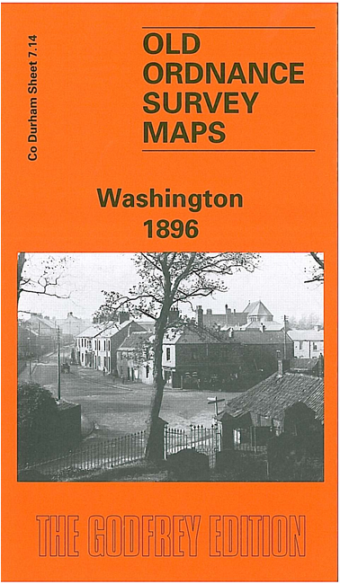
  • Co Durham 7.14a Washington 1896 - published 1997; intro by David Butler. ISBN.978-0-85054-914-0
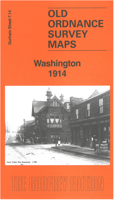
  • Co Durham 7.14b Washington 1914 - published 2026; intro by John Griffiths. ISBN.978-1-919015-10-1

    We have published two versions of this map, showing how the area changed across the years. The maps are both double-sided to give maximum coverage.

    The maps cover both New Washington and the old village. Features include Holy Trinity Church, The Green, Dame Margaret's Home, New Washington, Old Washington, Washington Colliery, Washington Wagonway, Blue House, New York, Oxclose High Farm, Havannah Terrace, High Washington, etc.

    The map links up with sheet 7.13 Birtley (North) to the west, and 7.10 Springwell to the north.


  • Follow this link for a complete list of our Sunderland maps. For other information and prices, and other areas, go to The Index Page.
  • Maps in the Godfrey Edition are taken from the 25 inch to the mile map and reduced to about 15 inches to the mile. For a full list of maps for the North East, return to the North East page.
    The Godfrey Edition / sales@alangodfreymaps.co.uk / 17 September 2026