 Here are the details of maps for Brockley Whins:

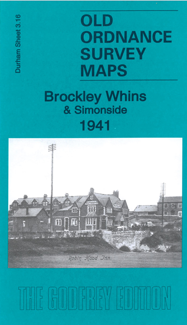
This detailed map covers the southern tip of South Shields around Simonside, with coverage extending south to the railway at Brockley Whins Junction. On the reverse we include a large extract from the 1912 map by way of contrast.
This map links up with Tyneside Sheet 15 East Jarrow to the north, Sheet 20 Monkton to the west, Tyneside Sheet 16 Harton to the east and Durham Sheet 7.04 Boldon Colliery to the south.
Maps in the Godfrey Edition are taken from the 25 inch to the mile map and reduced to about 15 inches to the mile. For a full list of maps for the North East, return to the North East page.
The Godfrey Edition / sales@alangodfreymaps.co.uk / 23 March 2023