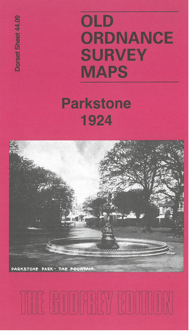
Dorset Sheet 44.09 Parkstone 1924 - published 2026; intro by Jenny Oliver. ISBN.978-1-919015-09-5 
This detailed map covers much of Longfleet and Parkstone, east of Poole. Coverage stretches from Longfleet eastward to Parkstone station, and northward to
the Kinson Pottery and Sea View Road.
Features include Parkstone station, tramways, Poor Law Institution, Cornelia Hospital, St Mary's church, St Peter's church, Parkstone Park, Kinson Pottery,
Russell Coates Nautical School, Dorchester School, Russell Cotes Home for Children, etc.
On the reverse we include extracts from the 1895 directory for Parkstone, together with a specially written introduction.
Follow this link for a complete list for Bournemouth Christchurch & Poole maps, or follow these links for
the rest of Dorset, or Hampshire, or for the whole South West region.
For other information and prices, and other areas, go to The Index Page.
Maps in the Godfrey Edition are taken from the 25 inch to the mile map and reduced to about 15 inches to the mile.
For a full list of maps for England, return to the England page.
Alan Godfrey Maps, Prospect Business Park, Leadgate, Consett, Co Durham, DH8 7PW / sales@alangodfreymaps.co.uk / 18 August 2026

 Here are the details of maps for Parkstone: