Old Ordnance Survey Maps of Derbyshire

  • These detailed maps normally cover an area of about one and a half miles by one mile. Each map includes an introduction.
  • They are available through our On-line Mapshop

  • Here are the details of maps for Ashbourne:

  • Derbyshire Sheet 43.01 Ashbourne 1920 - published 2008; intro by Barrie Trinder. ISBN.978-1-84784-165-0

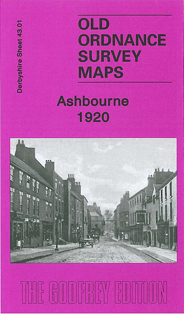
    This detailed map is double-sided for maximum coverage. The main map covers the area west of the town, from St Oswald's church westward to part of Mayfield, incl the Hanging Bridge and Gallowstree Hill. Features include Hangingbridge, Ashbourne Workhouse, railway with engine shed, Nestle's Condensed Milk Factory, cemetery. On the reverse we include a good section of adjacent sheet 43.02 which covers the town itself. Features here include Church Street, Compton Street, station, Compton, Ashbourne Hall, Market Place, St John's church, Dove House, The Leys, corset factory, Keeperleys Farm, Spitalhill, cattle market etc.


  • Follow this link for a list of our maps for Derbyshire.
  • You can order maps direct from our On-line Mapshop. For other information and prices, and other areas, go to The Index Page.
  • Maps in the Godfrey Edition are taken from the 25 inch to the mile map and reduced to about 15 inches to the mile. For a full list of maps for England, return to the England page.
    Alan Godfrey Maps, Prospect Business Park, Leadgate, Consett, Co Durham, DH8 7PW / sales@alangodfreymaps.co.uk / 25 November 2016