 Here are the details of maps for Clay Cross:

We have published two maps for Clay Cross. They link up with each other to give excellent coverage of the town.
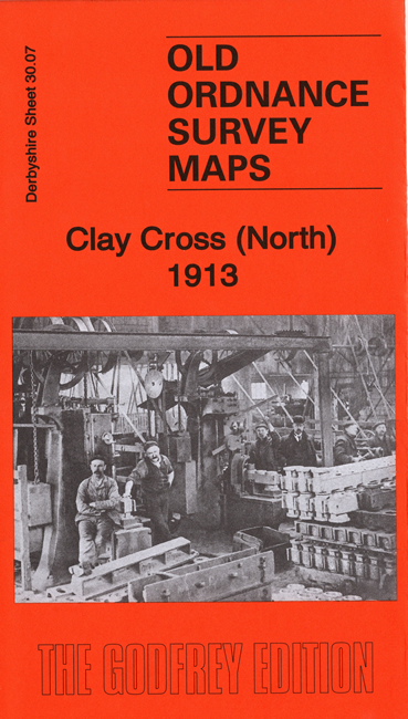
The North map covers the northern part of Clay Cross, principally showing the Clay Cross Colliery and Clay Cross Ironworks. Features here include Clay Cross Ironworks shown in some details, with railway lines, tanks, air shafts, as well as No.2 and No.3 collieries. Other features include Midland Railway North Midland Branch, Hepthorn Lane, part of North Wingfield, Hagg Hill, Coney Green Farm, St Lawrence's church, Parkhouse Green, Lockobrook Cottages, Church Hill, Concrete Houses, etc. Extracts from an early trade directory are included on the reverse.
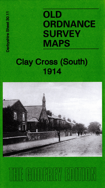
The South map is double-sided to provide maximum coverage and includes most of the town. Coverage extends eastward to Danesmoor and Clay Cross Colliery No.7. The map on the reverse has the western part of the town, including St Bartholomew's church, the UDC Offices or Melbourne House, and the tunnel entrance.