
 Here are the details of maps for Sawston:

This detailed map covers the villages of Sawston and Whittleford, either side of the GER railway line that runs through the map.
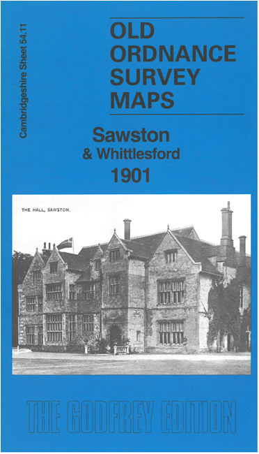
Features on the Sawston half of the map include Sawston Hall, St Mary's church, High Street with individual buildings shown, Leather & Parchment Factory, almshouses, Huntington's Farm, pubs, Langford Arch, The Spike etc.
Features in Whittlesford include St Mary & St Andrew's church, Grove House Farm, Scotts, Parsonage Farm, Brewery, Whittlesford Mill, Earls Hook, Sawston Paper Mill.
On the reverse we include 1912 directories of both Sawston and Whittlesford.