 Here are the details of maps for south Cambridge:

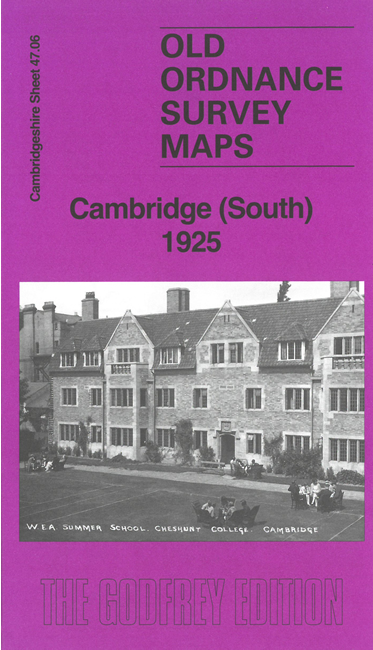
This detailed map covers the southern part of Cambridge, from Bateman Street southward.
Features include University Botanic Gardens, Cheshunt College, Evelyn Nursing Home, Brooklands Farm, Newnham Croft, River Farm, Royal Albert Almshouses, Homerton College, Hills Road, Cambridge station with LNER and LMSR railway lines, Goods sheds, sidings, engine shed, County School, cattle market, Homepride Mills, Ortona Motor Omnibus depot, Paston House, etc.
On the reverse we include 1912 street directory entries for Hills Road and Station Road.
The map links up with sheet 47.02 Cambridge to the north.