Old Ordnance Survey Maps of Cambridgeshire

  • These detailed maps normally cover an area of about one and a half miles by one mile. Each map includes an introduction.
  • They are available through our On-line Mapshop

  • Here are the details of maps for Cambridge (North):

  • Sheet 40.15 Cambridge (NE), incl Chesterton & Fen Ditton 1925 - published 2026; intro by Tony Kirby. ISBN.978-1-78721-966-3

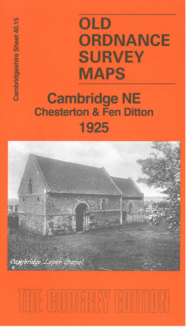
    This detailed map cover the NE area of Cambridge, from Chesterton eastward to Fen Ditton, and southward to part of Barnwell.

    Features include Chesterton High Street, Water Street, River Cam, Stourbridge Common, Barnwell brick works, railway with Barnwell Junction, Chesterton Junction, Cambridge & Mildenhall Branch, Ditton Hall, St Mary's church, Fen Ditton village, etc.

    On the reverse we include directories for Fen Ditton and Chesterton High Street, and a specially written introduction.

    The map links up with sheet 40.14 Cambridge North to the west.


  • Follow this link for a complete list of our Cambridgeshire maps.
  • You can order maps direct from our On-line Mapshop. For other information and prices, and other areas, go to The Index Page.
  • Maps in the Godfrey Edition are taken from the 25 inch to the mile map and reduced to about 15 inches to the mile. For a full list of maps for England, return to the England page.
    Alan Godfrey Maps, Prospect Business Park, Leadgate, Consett, Co Durham, DH8 7PW / sales@alangodfreymaps.co.uk / 19 March 2026