
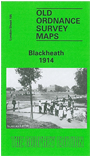
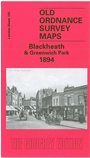
 Here are the details of maps for Blackheath & Greenwich Park:

We have published two versions of this map, showing how the area developed across the years. The maps each cover the same area, stretching from Brookmill Road, Beaufort Gardens and the east end ofSt Johns station eastward to Vanbrugh Terrace and Paragon Place; and from Greenwich station southward to Blackheath station and Bennett Park. The maps therefore cover the centre of Blackheath village, thge Heath itself, southern Greenwich including much of Greenwich Park, and also part of Lewisham, including Lewisham station. Other features on these very busy and interesting maps include the Royal Observatory, The Ranger's House, Crooms Hill, Chesterfield Walk; much of Greenwich Park station and the LCDR branch; Greenwich Road, Blackheath Hill, Hollyhedge House, Blackheath Vale, Heathfield House, Tranquil Vale, Montpelier Row, Ravensbourne River, Anchor Brewery. The 1894 map includes a commercial directory for Blackheath 1884. The 1914 map includes a selection of street directory entries, for Blackheath Hill, Blackheath Park, Crooms Hill, Dartmouth Row, Montpelier Row, Tranquil Vale.
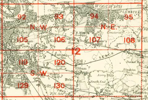
The map links up with London Sheets 92 Greenwich to the north, 104 New Cross to the west, 106 Kidbrooke to the east, 119 Lewisham to the south.
 Follow this link for a complete list of our London maps .