We have published more than 1,900 maps in our series of Old Ordnance Survey Map reprints, including a group for the Wiltshire area. The maps are highly detailed. They are taken from the OS 1:2,500 (or 25 inch) maps and reduced to about 15 inches to the mile. Each covers an area of a mile and a half by a mile. They show streets with individual houses, tram tracks, railway tracks and even signals, factories, wharves and such details as fountains and water troughs. They will provide hours of fascination for historians and genealogists. The maps are neatly folded and each includes a specially written introduction to the area. Maps can be purchased on our On-line Mapshop where further information about titles is given. Or visit The Index Page for a full list to the series and details of Prices.
Here are the details of maps for Devizes:
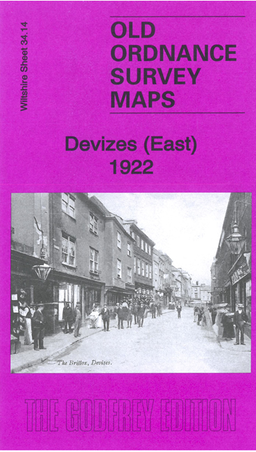
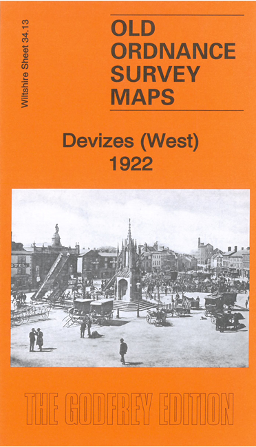
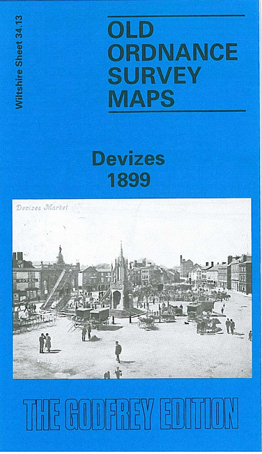
This particular sheet is double sided to give maximum coverage of Devizes, the suburbs of Dunkirk, Hillworth, St Joseph's Place, Wick Green and the surrounding area. Both the Great Western Railway Devizes Branch and the Kennet & Avon Canal travel from the west into adjacent outskirts of Devizes. The large stretches of fields and rural landscape in the west,only interupted by the railway, canal locks and various farms, gradually morphs into Devizes in the north-east of the map. Among the streets, shown here in detail with individual houses, are St Peter's Church, St Joseph's RC Chapel, St John the Baptist's Church, St Mary's Church, St James's Church; other features on the map include Her Majesty's Prison, Cottage Hospital, Union Workhouse, the market place, and of course, Devizes Castle. The backing map, covering the eastern part of the town, includes Devizes Green, Southbroom House and the workhouse. We also include a short history of the town, giving a brief insight from the Norman built castle to the closure of the prison after World War I. Transport historians will be especially interested in the railway and station, long closed, and the canal, with its famous flight of locks, 20 of which are shown here.
Follow this link for a complete list of our Wiltshire Series maps.
You can order maps direct from our On-line Mapshop. For other information and prices, and other areas, go to The Index Page.
Maps in the Godfrey Edition are taken from the 25 inch to the mile map and reduced to about 15 inches to the mile. For a full list of maps for England, return to the England page.
The Godfrey Edition / godfreyedition@btinternet.com / 29 Oct 2006