
 Here are the details of maps for Birmingham (East):


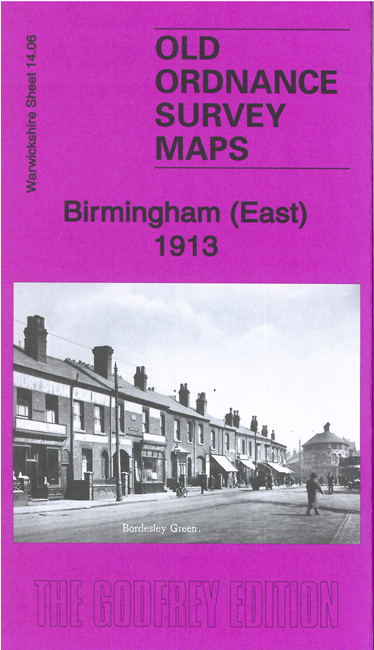
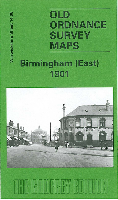
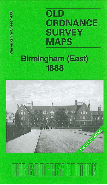
We have published three versions of this detailed map, showing how the area changed across the years. They cover the eastern side of Birmingham, with coverage stretching from St Andrew's Road eastward to Blakeland Street, and from St Saviour's Road southward to Grange Road.
Features include the Bordesley Green area, Little Bromwich, Adderley Park, St Andrew's church, LNWR railway with Adderley Park station, Gloucester Junction, St Andrew's Junction, Britannia Works, Midland Works (carriage and wagon works), Saltley Training College, Wolseley car works, Union Paper Mill, Little Green Lane area, Saltley Reformatory etc. On the reverse we include extracts from early directories.
The 1888 version is fully coloured, taken from the OS 1st Edition handcoloured map.
The map links up with sheets 14.02 Saltley to the north, 14.05 Central Birmingham to the west, 14.07 Stechford 1902 to the east, 14.10 Small Heath to the south.