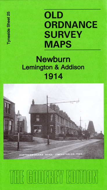
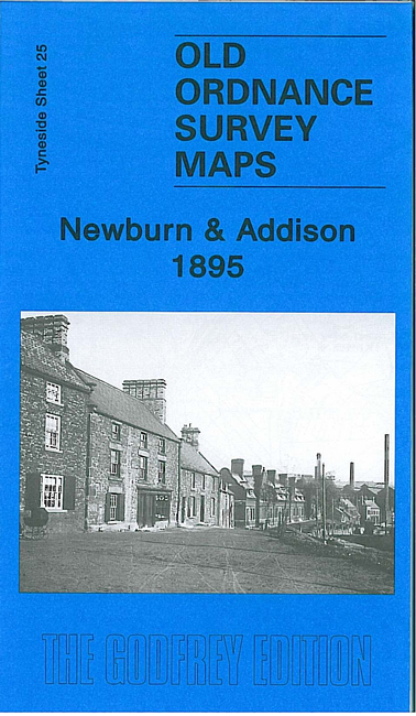
 Here are the details of maps for Newburn:

We have published two versions of this map, showing how the area changed across the years.
The maps cover most of Newburn in great detail and extend southward across the Tyne to Addison, and eastward to Lemington Lane. Features include Newburn Steel Works, remains of Newburn Hall, St Michael's church, Wallbottle Brick Works, NER Scotswood Newburn & Wylam line with Newburn station, Lemington Hall, Lemington Glass Works, Tyne Iron Works (disused), mineral railways, Sugley Farm, North Wallbottle Wagonway, Addison Colliery, St Hilda's church, race course.
Each map includes extracts from an early directory together with a specially written introduction to the history of the area.
The map links up with Tyneside sheet 28 Blaydon to the south, 29 Old Benwell to the east, and Durham sheet 1.12 Ryton to the west.
Maps in the Godfrey Edition are taken from the 25 inch to the mile map and reduced to about 15 inches to the mile. For a full list of maps for the North East, return to the North East page.
The Godfrey Edition / sales@alangodfreymaps.co.uk / 28 August 2019