 Here are the details of maps for Elswick & Benwell:

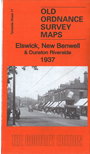
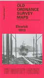
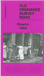
We have published three versions of this map, showing how the area developed across the year. The three maps cover the same area, with coverage stretching from Hodgkin Park eastward to Park Road, and from Sceptre Street southward to the Dunston riverside. Elswick Road and Scotswood Road run through the map, and features (on 1894 map) include the massive Elswick Works, NER railway with station, Elswick Colliery, St Joseph's House, Elswick House, Elswick Hall, The Gables, Elswick Shipyard, South Benwell, New Benwell, Paradise, South Benwell Electric Light Works, Delaval Colliery, St John's Cemetery, Wansbeck Home, etc; a smaller area south of the Tyne is also included, showing part of Dunston, and features here include a stretch of the NER Redheugh Branch, Atlas Rivet Works, Dunston Engine Works, saw mills, landing stages.
The map links up with Tyneside Sheet 10 Arthurs Hill to the north, 26 Scotswood,/A> to the west, 18 Newcastle & Gateshead to the east and 22 Dunston to the south.
Maps in the Godfrey Edition are taken from the 25 inch to the mile map and reduced to about 15 inches to the mile. For a full list of maps for the North East, return to the North East page.
The Godfrey Edition / sales@alangodfreymaps.co.uk / 8 April 2019