
 Here are the details of maps for Tunbridge Wells:

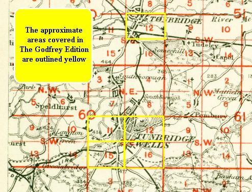
We have published four maps of Tunbridge Wells, which link up to provide good coverage of the town. Each covers an area of a mile by a mile and a half. They are so detailed that individual houses are shown.
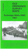
The NW map covers the area from Mount Pleasant Road and Grosvenor Road westward to Rusthall Common and Lower Green, and from Vale Road and Nevill Park northward to The Lew, Skinners School and Culverdon Castle. Features include the SECR Central station, Mount Ephraim, Great Hall, Trinity church, cemetery, St John's church, Mount Edgecumbe, Bishops Down, Culverdon Farm, Wellington Hotel, Spa Hotel, St Paul's church, Rusthall Common, Denny Bottom, Happy Valley, Nevill Court, Culverdon Brewery. A list of private residents A-I is included.
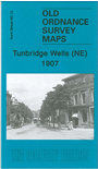
The NE map covers the area to the east, from Goods Station Road eastward to Muxelwell Farm and Blackhurst. Features here include Calverley Road, Calverley Park, St Peter's church, St James's church, Goods station, Harvey Town, Calverley Hotel, Pemburey Road (with many large villas off it), Sandrock Road, Chilston House, Kingswood, Home Farm, Blackhurst Corner, Coneyburrow Wood, Siseley Wood, Sandown Park. The directory continues, with residents J-S.
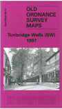
The SW map covers the area from Madeira Park westward to Friezland Wood, and the SW of the town. Features here include Mount Sion Road, The Grove, High Street, Christ Church, Church of King Charles the Martyr, The Pantiles, southern part of Common, Old Race Course, LBSCR's West station, Hungershall Park, Broadwater Down, Ramslye Farm, Cumberland Walk, St Mark's church. Extracts from a directory include private residents S-Z.
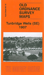
The SE map covers the more rural area around Hawkenbury, with coverage stretching from Grove Hill eastward to High Wood and southward to Benhall Mill Road, the fever hospital and cemetery. A directory of public establishments, schools and churches is also included.
An index map showing the area covered by the maps is available here.