
 Here are the details of maps for Dorking:

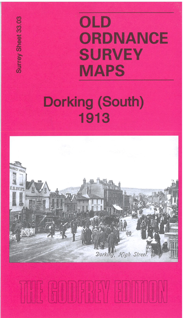
We have published two maps for Dorking. They link up with each other to provide excellent coverage of the town.
Features on the Dorking North map include railways with Dorking Station on the LBSCR line, Dorking and Boxhill stations on the SECR line, Pippbrook House, Pixham Mill, Pixholme Court, Shambles Farm, Boxhill Nursery, Chalkpit Cottages, Bradley Farm, British Timber Works, Dorking Lime Works, Denbies, Denbies Farm, Ashcombe Wood, dismantled fort, etc
Features on the Dorking South map include town centre with individual buildings neatly shown, Deepdene, The Glory Wood, Washway Bridge, Parsonage Mill, St Martin's Church, Cotmandene, Union Workhouse, Tower Hill, St Joseph's RC Church, Albany Training Home, Market Place, Friends Meeting House, The Nower, Home Farm, Bury Hill, Milton Heath, Milton Court, Sondesplace Farm, etc.
Each map includes a specially written introduction together with extracts from a 1903 Dirctory of Surrey.