Old Ordnance Survey Maps of Surrey

  • These detailed maps normally cover an area of about one and a half miles by one mile. Each map includes an introduction.
  • They are available through our On-line Mapshop

  • Here are the details of the map for Leatherhead:

  • Surrey Sheet 18.15 Leatherhead 1912 - published 2023; intro by Pamela Taylor. ISBN.978-1-78721-671-6

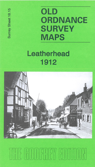
    This detailed map gives excellent coverage of Leatherhead.

    Features include the town centre with individual buildings neatly shown, railway with LBSCR and LSWR stations, All Saints church, Red House, St John's Foundation School, St Mary & St Nicholas church, Common Fields, Swan Brewery, Windfield, Linden House, Fetcham Grove, Leatherhead Bridge, Fetcham Mill, Randalls Farm, Randalls Park, Cannoncourt Farm etc. We include extracts from a 1903 directory on the reverse.


  • Follow this link for a complete list of our Surrey maps, here for Croydon, or here for the London Boroughs.
  • You can order maps direct from our On-line Mapshop. For other information and Prices, see Index Page.
  • Most maps in the Godfrey Edition are taken from the 25 inch to the mile map and reduced to about 15 inches to the mile.
    The Godfrey Edition / sales@alangodfreymaps.co.uk / 8 July 2023