Old Ordnance Survey Maps of Surrey

  • These detailed maps normally cover an area of about one and a half miles by one mile. Each map includes an introduction.
  • They are available through our On-line Mapshop

  • Here are the details of maps for Esher:

  • Surrey Sheet 12.10 Esher 1912 - published 2023; intro by Tony Painter. ISBN.978-1-78721-682-2

    This map gives good detailed coverage of Egham, including part of Sandown Park racecourse.

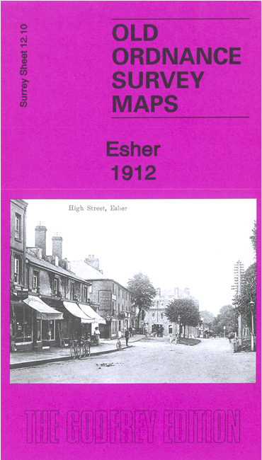
    Features include village centre with individual buildings neatly shown, Esher Place, Christ Church, St George's Chapel, Esher Green, racecourse with grandstand and winning posts, Esher Bridge, River Mole, South Waylands Farm, Southlands, The Lea, Longmore Farm etc.

    On the reverse is a specially written introduction to the history of the area together with a 1903 Commercial Directory of Esher..


  • Follow this link for a complete list of our Surrey maps, here for Croydon, or here for the London Boroughs.
  • You can order maps direct from our On-line Mapshop. For other information and Prices, see Index Page.
  • Most maps in the Godfrey Edition are taken from the 25 inch to the mile map and reduced to about 15 inches to the mile.
    The Godfrey Edition / sales@alangodfreymaps.co.uk / 23 September 2023