
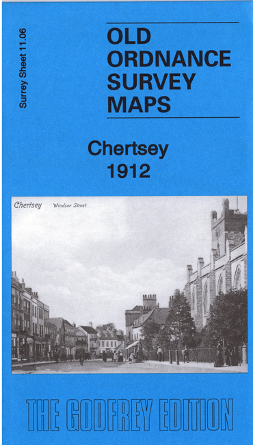
 Here are the details of the map for Chertsey:

This detailed map of Chertsey is double-sided for maximum coverage.
The main map covers the town centre and extends southward to the railway station. Features include St Peter's church, Town Hall, London Street and Guildford Street areas shown in detail with individual buildings shown, All Saints church, railway and station, Eastworth area, St Ann's RC church, Cowley Farm, Stepgates area, Horsell Farm, Giles's Almshouses, Clay Corner, Beomond Cottage, Cowley House, Pyrcroft, Chilseygreen Farm, Cockcrow Hill, Hardwick Court Farm, Sandgates, Pannells Farm etc.
On the reverse we include a large extract of adjacent sheet 11.02, extending coverage north to include Abbey House, site of Abbey, York Place, Twynersh, Monksgrove, Abbey Mead etc